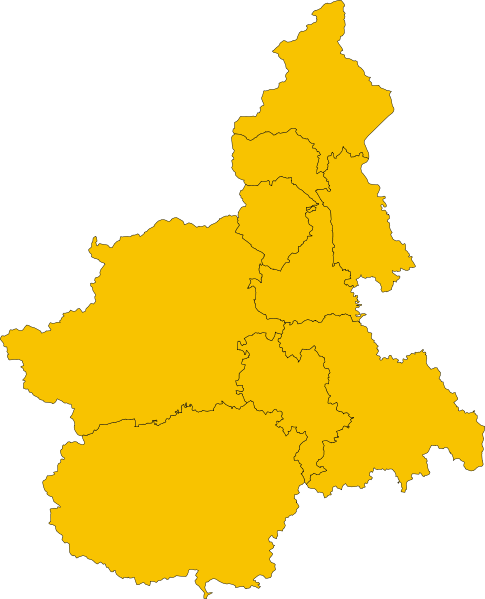
File:Map of region of Piedmont, Italy.svg
Jump to navigation
Jump to search

Size of this PNG preview of this SVG file: 485 × 599 pixels. Other resolutions: 194 × 240 pixels | 389 × 480 pixels | 622 × 768 pixels | 829 × 1,024 pixels | 1,658 × 2,048 pixels | 3,493 × 4,314 pixels.
Original file (SVG file, nominally 3,493 × 4,314 pixels, file size: 171 KB)
File history
Click on a date/time to view the file as it appeared at that time.
| Date/Time | Thumbnail | Dimensions | User | Comment | |
|---|---|---|---|---|---|
| current | 00:49, 6 December 2010 |  | 3,493 × 4,314 (171 KB) | Vonvikken | == {{int:filedesc}} == {{Information |Description={{DescrMapRegionItaly|PIE}} |Source={{own}} |Author=Vonvikken |Date=2010-12-06 |Permission= |other_versions=100px|English |
File usage
There are no pages that use this file.
Global file usage
The following other wikis use this file:
- Usage on ko.wikipedia.org
- Usage on pms.wikipedia.org
- Turin
- Almèis
- Clavier
- Ols
- Ël Sestrier
- Vilar Dòra
- Bardonecia
- Cesan-a
- Angreugna
- Argnan
- Baudsé (TO)
- Borgial
- Cambiagn
- Candieul
- Cavour
- Ceresòle (TO)
- Cher
- Isìles
- Isolabela
- Caramagna
- Corsion
- Castelneuv Don Bòsch
- Cossombrà
- Ast
- Albugnan
- Ajan
- Antignan
- Aramengh
- Bubi
- Castel d'Anon
- Moncalv
- Bergamasch
- Carenten
- Pancalé
- Quatòrdi
- Camagna
- Mas
- Flissan
- Quargnent
- Bersan
- Consan
- J'Ovij
- Baudiché
- Cantaran-a
- Alba
- Ël Pin (TO)
- Siosse
- Moriond
View more global usage of this file.


