File:Map of Taiwan (Formosa) in 1880, from- Stanford's map of the empires of China and Japan with the adjacent parts of the Russian Empire, India, Burma etc. LOC 2006458442 (cropped).jpg
Jump to navigation
Jump to search

Size of this preview: 478 × 599 pixels. Other resolutions: 191 × 240 pixels | 383 × 480 pixels | 613 × 768 pixels | 1,071 × 1,342 pixels.
Original file (1,071 × 1,342 pixels, file size: 257 KB, MIME type: image/jpeg)
This is a file from the Wikimedia Commons. Information from its description page there is shown below.
Commons is a freely licensed media file repository. You can help. |
Summary
| Description |
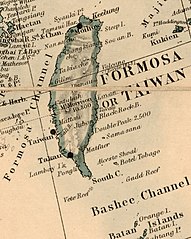
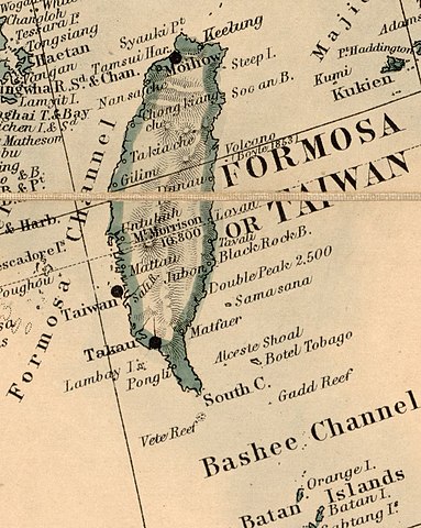
English: Back cover of publishers' list on verso. Front cover missing. "Stanford's Geog. Estab, London." Annotated in pencil in pink. "409410 * '31." LC copy sectioned to 36 sheets, and mounted on cloth backing. Available also through the Library of Congress Web site as a raster image. |
||
| Title | Stanford's map of the empires of China and Japan with the adjacent parts of the Russian Empire, India, Burma &c. | ||
| Shelf ID | G7820 188- .S7 | ||
| Date | |||
| Source | https://www.loc.gov/item/2006458442/ | ||
| Author | Stanford, Edward | ||
| Permission (Reusing this file) |
|
||
| Other versions | |||
| Location | Burma · Burma. · India · India. · China · Russia. · Japan · China. · Japan. · Russia | ||
| Part of | American Memory · General Maps · Catalog · Geography And Map Division | ||
| Subject | Burma · India · Maps · China · Japan · Russia |


_in_1880,_from-_Stanford%27s_map_of_the_empires_of_China_and_Japan_with_the_adjacent_parts_of_the_Russian_Empire,_India,_Burma_etc._LOC_2006458442_(cropped).jpg)
Licensing
|
This is a faithful photographic reproduction of a two-dimensional, public domain work of art. The work of art itself is in the public domain for the following reason:
The official position taken by the Wikimedia Foundation is that "faithful reproductions of two-dimensional public domain works of art are public domain".
This photographic reproduction is therefore also considered to be in the public domain in the United States. In other jurisdictions, re-use of this content may be restricted; see Reuse of PD-Art photographs for details. | ||||
File history
Click on a date/time to view the file as it appeared at that time.
| Date/Time | Thumbnail | Dimensions | User | Comment | |
|---|---|---|---|---|---|
| current | 02:51, 4 November 2019 | | 1,071 × 1,342 (257 KB) | Tibet Nation | File:Stanford's map of the empires of China and Japan with the adjacent parts of the Russian Empire, India, Burma etc. LOC 2006458442.jpg cropped 93 % horizontally, 87 % vertically using CropTool with lossless mode. |
File usage
The following 2 pages use this file:
Global file usage
The following other wikis use this file:
- Usage on en.wikipedia.org
- Usage on id.wikipedia.org
- Usage on ko.wikipedia.org
- Usage on zh.wiktionary.org
_in_1880,_from-_Stanford%27s_map_of_the_empires_of_China_and_Japan_with_the_adjacent_parts_of_the_Russian_Empire,_India,_Burma_etc._LOC_2006458442_(cropped).jpg)